Introduction to the Geology of the Central Metasedimentary Belt
Heidi Daxberger
The Central Metasedimentary Belt of Southern Ontario
The Central Metasedimentary Belt is part of the Grenville Province that formed between 1.3 billion years to approximately 980 million years ago during the Grenville orogeny. The orogeny was the result of the tectonic plate collision of the Precambrian continent of Laurentia with a number of volcanic island arcs and later a continental crust piece called Frontenac-Adirondack Belt. The exposed mountain belt remnants spans from Western Newfoundland and East Labrador in a NE-SW trending belt toward Southern Ontario (figure 1).

The plate collision that resulted in the Grenville Mountain Belt included multiple subduction zones, for example a toward Laurentia’s margin dipping subduction zone which led to the formation of the Central Gneiss Belt (CGB) just east of the Superior Province and above the subducting slab. This section of the Grenville Province is made up of highly deformed high metamorphic grade rocks and larger to smaller igneous intrusive bodies (Carr et al., 2000). Progressive subduction of ocean floor under Laurentia’s leading edge and later amalgamation of a composite belt made up of various volcanic island arcs with intercalations of ocean floor remnants onto Laurentia’s margin, led to the formation of the Central Metasedimentary Belt (CMB).

This belt is comprised of a suite of highly deformed and metamorphosed carbonate rocks, representing the former ocean floor sediments, mostly mafic volcanic rocks of the intermittent island arcs, clastic sedimentary rocks that represent erosion products, as well as some larger subduction driven intrusions such as granite plutons. Further to the South-East, the Frontenac-Adirondack Belt was welded onto the now enlarged Laurentian continent in a later phase (approx. 980 Ma) of the Grenville orogeny.
As visible on the geologic map, the continuation of the Precambrian Grenville rocks is obscured by a thick succession of Paleozoic sedimentary rocks of Ordovician to Devonian rocks. This sediment cover is missing in the Northern portion of Southern Ontario due to the extreme gauging and erosion of past glacial activity. To the East the later following Appalachian Orogeny added more mass to Laurentia.
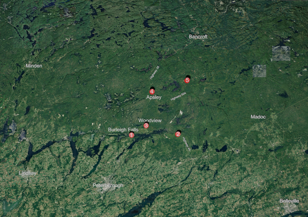
This book is broken up into chapters comprising of sites exhibiting some of the major geological units of the Metasedimentary Belt of the Grenville Orogen in Southern Ontario.

Click on a site in the legend to go to that chapter!
Comments, questions, and inquiries for additional information always welcome at virtual.petrology.network@utoronto.ca
Are you new to H5P? Go to the quick overview on how to use each of the content types in this book: How to Use This Ebook
Already familiar with H5P interactions? Jump right into the book here: CMB 1 – Burleigh Falls
