1 CGB 1 – Six Mile Lake
Sheila Ballantyne and Phillip Ruscica
GPS Coordinates (44°53’18.3″N , 79°45’12.9″W)
Parking: Ample parking on shoulder of a quiet road, near Six Mile Provincial Park entrance gate
This stop is located on King George Road, just north of the entrance gate to Six Mile Lake Provincial Park.
The pink and black layered gneisses and migmatitic rocks are Mesoproterozoic in age with unknown protoliths. This area is part of the Go Home lithotectonic domain1. Slide the vertical white line left to right in the image below to switch between the satellite view and Ontario Geological Survey map2.
Click here to open the bedrock geology legend on the OGS website
The following images are of outcrops that line the east and west sides of the road. Note the:
- Pervasive sub-horizontal fractures, likely the result of post-glacial rebound
- Complex folding, migmatite texture, with pink pegmatitic layers and dykes
- Strong lineations, which are very likely irregular mullions, indicative of strong deformation
The Digital Outcrop
The digital outcrop below reveals a migmatite texture, with alternating folliated layers of mafic and felsic rocks. The strongly lineated area on the top of the outcrop is an excellent example of mullions. A lot of evidence here for highly metamorphosed and strongly deformed rocks here! Note the yellow notebook on the left side for scale (notebook is 18cm long). The lineations trend 20/130.
The Digital Hand Sample
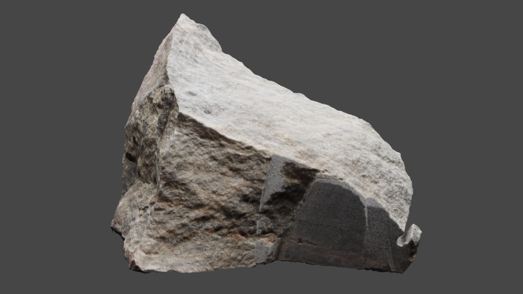
The gneiss rock sample below (VLS-21-66) is approximately 15cm long. Click on the image (or here) to view the 3D model of the sample in Sketchfab! It was taken from the outcrop shown above. The marking of 20/130 written on the rock is the general trend of the lineations of the mullions in the outcrop, which are not obvious in this hand sample. Note the alternating felsic and mafic layers of this gneiss rock sample.
Thin Sections of Hand Samples
Two thin sections were made from the hand sample above (VLS-21-66A and VLS-21-66B). The first (66A) is cut parallel to folliation, while 66B is cut perpendicular.
The following two thin section videos are close-ups of slide VLS-21-66A, these show the view parallel to foliation of sample 66.
Plain Polarized Light (PPL) view of sample VLS-21-66A.
Crossed Polarized Light (XPL) view of sample VLS-21-66A.
The following two thin section videos are close ups of slide VLS-21-66B, these show the view perpendicular to foliation of sample 66.
Plain Polarized Light (PPL) view of sample VLS-21-66B.
Crossed Polarized Light (XPL) view of sample VLS-21-66B.
Additional photographs, detailed descriptions, and high resolution images of thin sections are available to post-secondary instructors. Please email virtual.petrology.network@utoronto.ca
All comments, questions, and concerns are always welcome at this email address.
References
1. Many excellent papers exist on the lithotectonic domains of this area, examples:
2. Ontario Geological Survey (2011). 1:250 000 scale bedrock geology of Ontario; Ontario Geological Survey Miscellaneous Release-Data 126 – Revision 1.
Go to the next chapter: CGB 2 – Mactier Exit!

