Book Title: Atlas of the Central Gneiss Belt Bedrock Geology in Southern Ontario: LiDAR-Derived Digital Outcrops, 3D Hand Samples, Petrography, and Geochemistry
Subtitle: LiDAR-Derived Digital Outcrops, 3D Hand Samples, Petrography, and Geochemistry
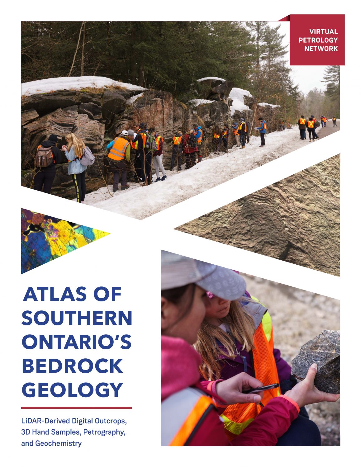
Book Description: Classic Central Gneiss Belt of the Grenville outcrops are revealed in this image-dense geological reference book. Each site is complete with 3D models of outcrops, rock samples, and virtual thin sections. Geochemical data is also available for some samples. High resolution images of thin sections and more detailed descriptions are available to post-secondary instructors upon request.
License:
Ontario Commons License – No Derivatives
Contents
Book Information
License
Atlas of the Central Gneiss Belt Bedrock Geology in Southern Ontario: LiDAR-Derived Digital Outcrops, 3D Hand Samples, Petrography, and Geochemistry Copyright © 2022 by Sheila Ballantyne, Heidi Daxberger, Phillip Ruscica is licensed under a Ontario Commons License – No Derivatives, except where otherwise noted.Subject
Earth sciences