8 CGB 8 – Magnetawan
Sheila Ballantyne and Phillip Ruscica
GPS Coordinates (45°43’32.09″N , 80°21’48.70″W)
Parking: N/A. This outcrop is on private land and accessible only by boat.
The Magnetawan site has one outcrop scan. This stop is located along the Magnetawan River, east of Highway 69 and north of Harris Lake.
Click here to open the bedrock geology legend on the OGS website
Stop 1 - Magnetawan
The Digital Outcrop
The Digital Hand Sample
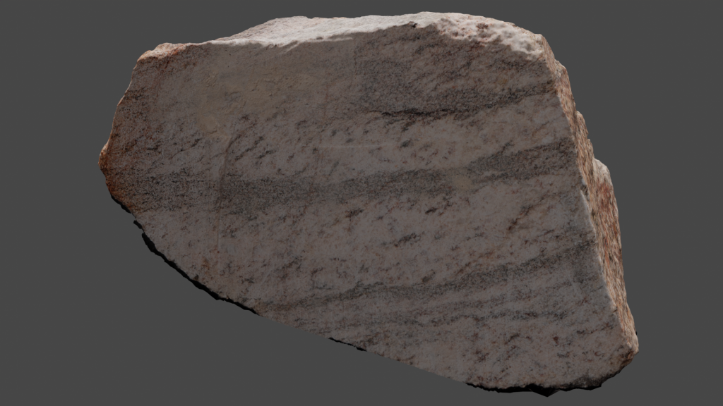
The following rock is sample VLS-21-33. Click on the image (or here) to view the 3D model of the sample in Sketchfab!
Thin Sections of Hand Samples
The following two thin section videos are of sample VLS-21-33.
Plain Polarized Light (PPL) view of sample VLS-21-33.
Crossed Polarized Light (XPL) view of sample VLS-21-33.
Scanning Electron Microscope
The SEM results of sample VLS-21-33 are in the following documents.
Additional photographs, detailed descriptions, and high resolution images of thin sections are available to post-secondary instructors. Please email virtual.petrology.network@utoronto.ca All comments, questions, and concerns are always welcome at this email address.
Check out the methodologies used in this book here: Appendix: Methods!

