1.3 Drawing District Boundaries
Some district borders are fixed; they might be a city, state, province, or entire country. There is no confusion about where the district begins and ends. However, for other electoral districts, the borders are drawn to delineate one district from another. Inevitably, it may be necessary to redraw district borders to account for population changes.
Why Redraw Borders?
In most electoral systems, electoral districts exist to represent a defined population within a specific geographic area. There is often a requirement that electoral districts be somewhat comparable (if not equal) in size or population. This can pose problems when populations grow (or shrink) in some areas. To account for population changes, countries such as Canada and the United States have statutory requirements to redraw district borders after the decennial census. This process of boundary delineation is more commonly known as redistricting.
Renovating the House?
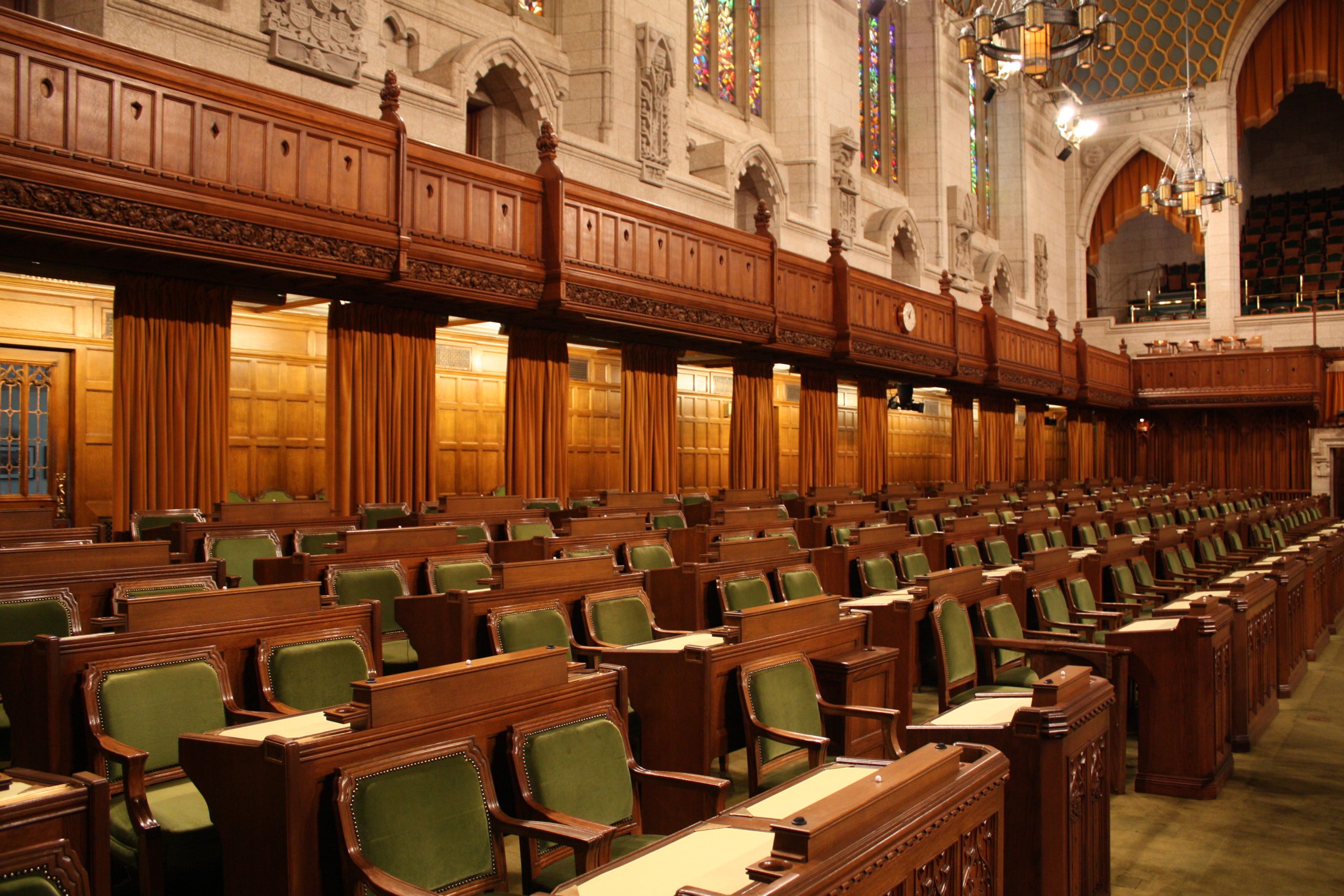
- Adding More Seats: The House of Commons in the Canadian Parliament added five seats after the 2020 census, bringing the total to 343.
- Removing Seats: The House of Representatives in the American Congress is fixed at 435. Therefore, after each census, the seat total won’t change, but the distribution of seats will. For example, in the redistricting cycle following the 2020 census, some states, like New York and California, lost a seat in Congress, while others, such as Florida and Texas, gained seats.
Who Draws the Borders?
There are different methods for establishing and changing the boundaries of electoral districts. Canada, for example, uses an Independent Redistricting Commission (IRC) to draw district borders. The Commission, called the Electoral Boundaries Commission, follows a gradual, transparent process that includes offering proposed maps for public input.
What factors should be taken into consideration?
Population
In Canada and the United States, there are requirements that districts be approximately equal-sized. In Canada, a benchmark number is used (called an electoral quotient) to guide the redistricting process. The number represents the average population size for all districts. In the 2022 redistricting cycle, that number was 121,891 (Elections Canada, 2022).
Geography
Geographic landmarks such as rivers and mountains can serve as natural boundaries for proposed electoral districts. Additionally, sparsely populated rural areas might be drawn with smaller population sizes to avoid the district becoming too large geographically.
Contiguity
A district is considered to be contiguous if a voter can travel anywhere within the district without having to cross a boundary into another district (Levit, 2020).
Consistency
There may be an attempt to keep districts the same across different administrative divisions (i.e. national and provincial) to avoid confusing voters.
Communities of Interest
Borders might be drawn to include specific ethnic or linguistic communities.
